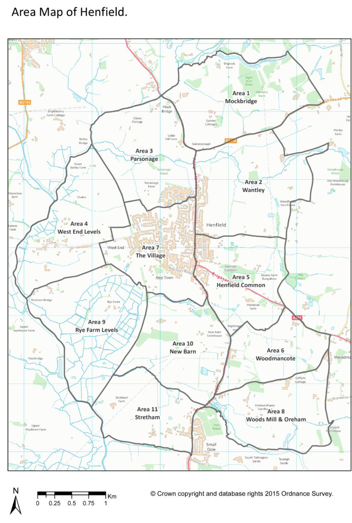
 Bordered by the River Adur to the west, extending to Woods Mill and Small Dole in the south then following up through Woodmancote to the east while the northern border extends up to Mockbridge, Henfield parish is predominantly low level agricultural land surrounding the village itself. Mainly pasture with a little bit of arable farming, the major habitat in the patch are the Adur floodplains that can provide an excellent wetland habitat in winter. There are number of small woodlands and a patchwork of small fields are surrounded by an abundance of important hedgerows.
Woods Mill is the only designated nature reserve within the parish but there are pockets of excellent habitat that enables a wide variety of species to thrive. Within the village, gardens provide a haven for birds and other wildlife and contributes significantly to the parish’s diversity.
Read more about our Area Walks